Applications Across Industries

Surveying and Mapping
High-accuracy RTK for professional land surveys, construction staking, GIS data collection, and topographic mapping. Reliable centimeter-level fixes even in urban canyons or forested areas.

Precision Agriculture
Enable auto-guidance, variable rate application, section control, and yield monitoring to optimize inputs and maximize crop yields.

UAV / Drone Operations
Precise positioning for drones, UGVs, and autonomous robots — supporting photogrammetry, inspection, delivery, and search operations with minimal ground control points.

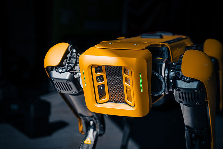
Autonomy and Robotics
Robust multi-constellation navigation for autonomous vehicles, marine surface vessels, base stations, and precise timing applications in IoT, telecom, and defense.
Designed to Exceed
Precision Performance
Multi-frequency RTK and PPP with fast convergence and IMU tilt compensation for sub-inch accuracy in real time.
Designed and Made in EU
In-house assembly in Europe, short lead times, full custom/OEM configurations, and NDAA-compliant selections available.
Rugged and Field-Ready
IP67/IP69K rugged enclosures, shock and vibration resistance, extended temperature range, and metal casings designed for harsh field conditions.
Custom Solutions
We provide flexible customization options tailored for specific applications and seamless system integrations.

Trusted by Space X, Galileo, leading research centers and other performance-critical users in over 70 countries around the world.
Featured Products


Frequently Asked Questions